
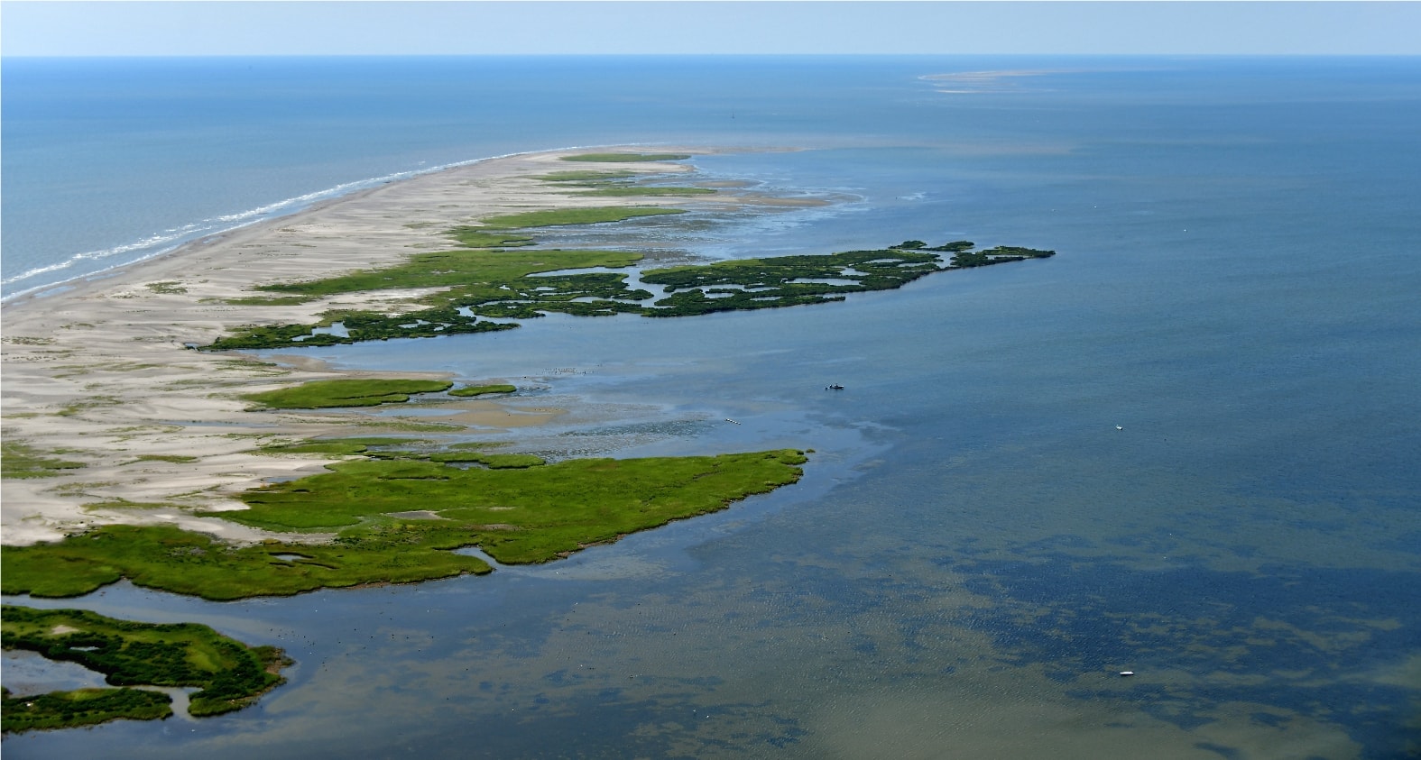
Environmental Photography
Documenting Our Coast.
Aerial environmental documentation for scientists, attorneys, government agencies, and conservation organizations.
Eyes in the Sky for the Environment
Environmental aerial photography provides critical documentation for oil spill response, coastal erosion studies, wetlands assessment, and wildlife habitat surveys.
Our imagery has been used in legal proceedings, environmental impact reports, and conservation planning across the Gulf Coast region.
Environmental Applications
Oil Spill Documentation
Rapid-response aerial imaging for spill extent and impact assessment.
Coastal Erosion Surveys
Before-and-after documentation of shoreline change over time.
Wetlands Assessment
Habitat mapping and condition documentation for regulatory compliance.
Wildlife Surveys
Population counts and habitat use studies from the air.
Gallery
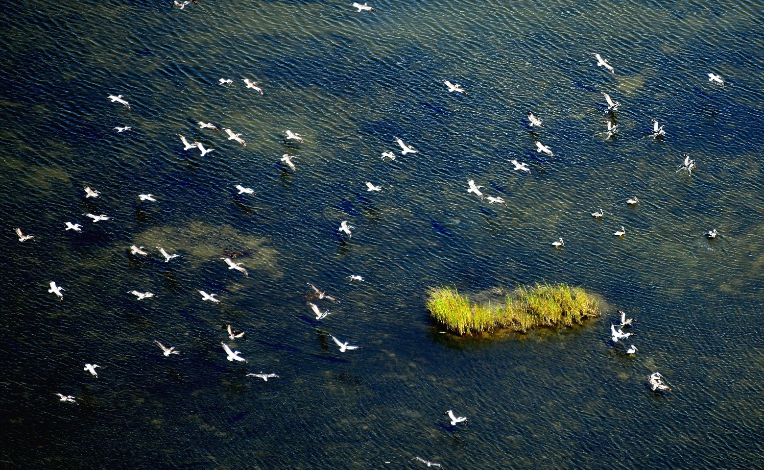
Rookeries
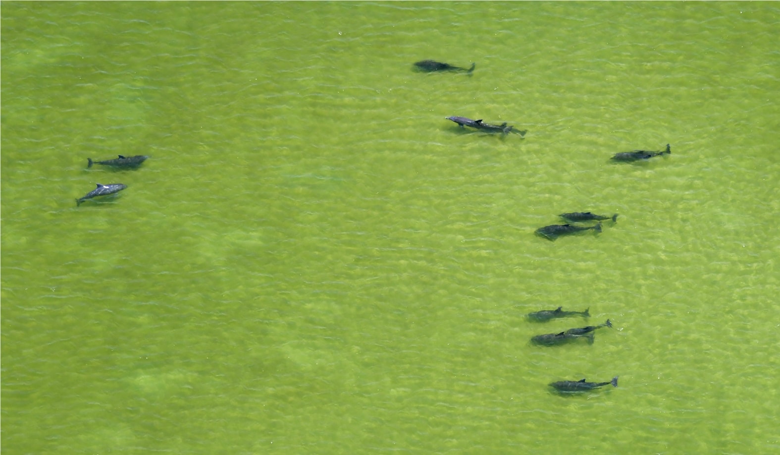
Dolphins
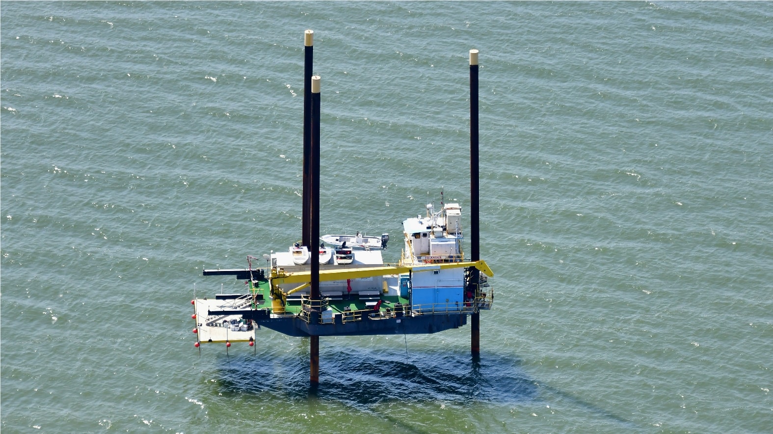
Offshore Jack-up Rig
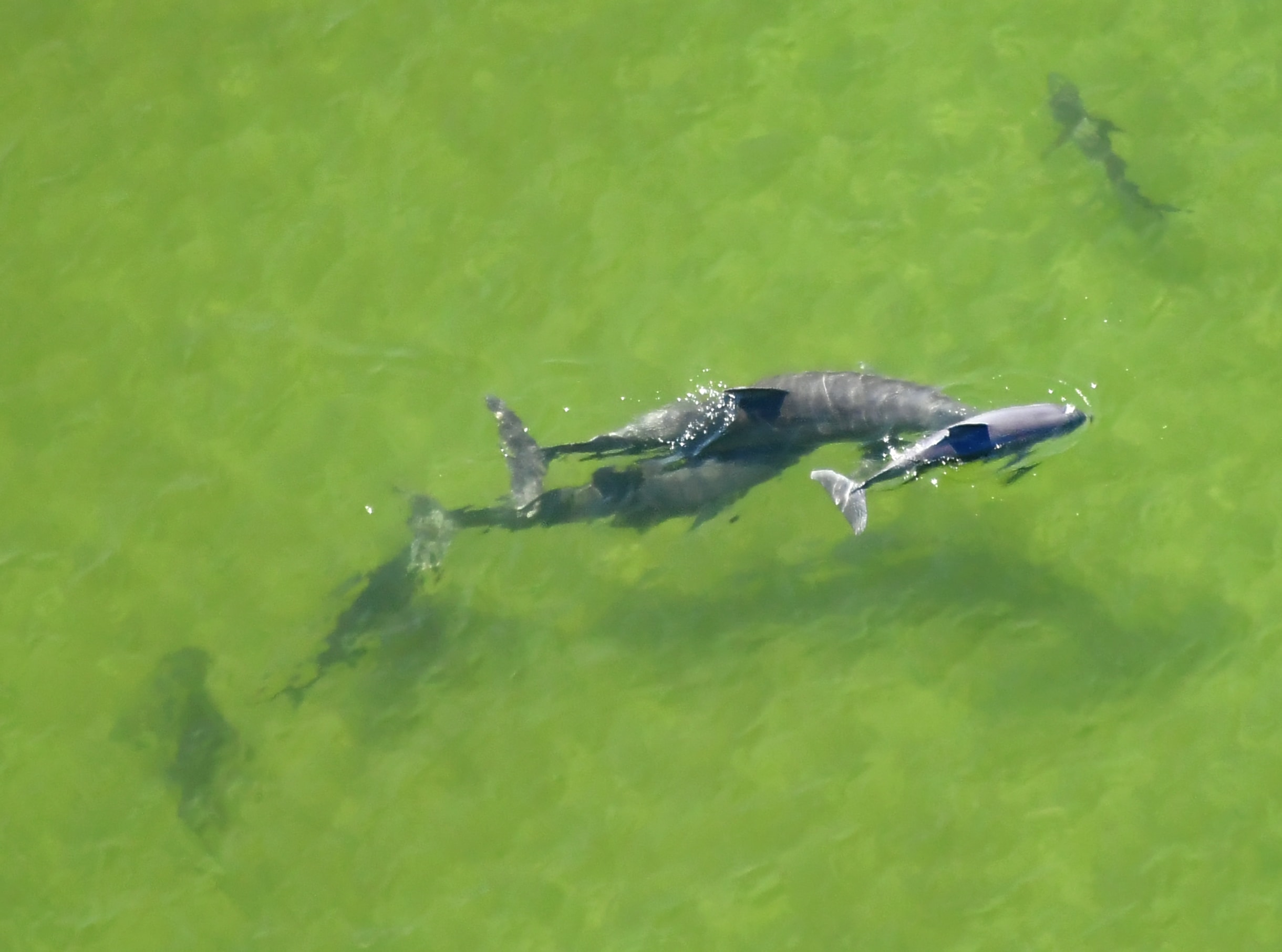
Dolphins in Formation
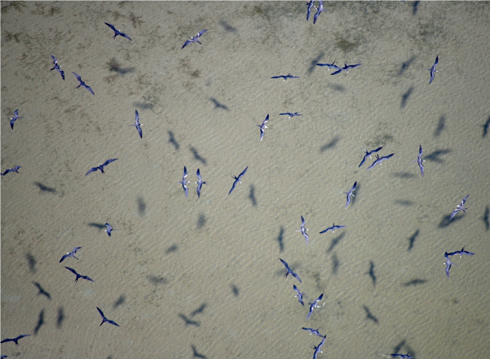
Frigate Birds
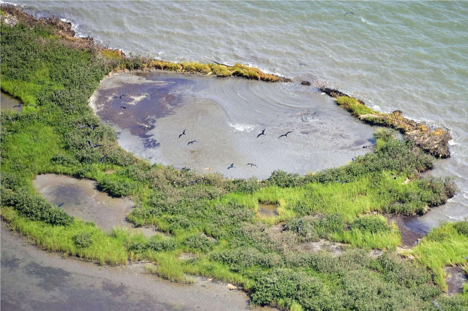
Island Rookery
Environmental Documentation You Can Trust
Admissible, time-stamped aerial imagery for your environmental project or legal matter.
Contact Us